Veeris — Terrain intelligence
Ground truth for NATO’s eastern flank.
Veeris maps what satellites can’t: the ground beneath the canopy. Collected by commercial forestry. Subscribed to by defence.
- Vēris /lv/
- a great, old forest
- → the terrain
- Verus /la/
- true
- → the data
- Veer /en/
- to change course
- → the mission

Static monochrome point-cloud capture of a sample sub-canopy survey area: bare-earth terrain and individual tree stems. Visible features include a drainage channel that functions as a mobility corridor and a faint, perfectly straight linear feature of anthropogenic origin crossing the terrain.
One sensor. Two industries.
The product · Scan sample
The scan doesn't stop at the canopy.
Plot 04-A · 57.15°N 25.30°E · One continuous scan
Boulder · H 1.2M
Depression · Wet · Soil CAT-3
Gap · 14M clear
Linear feature · 0.6M relief · Anthropogenic
Ditch · W 2.1M · D 0.8M · Orient NE
Drag left or right, or use the arrow keys, to strip the canopy layer from this point-cloud scan and reveal the stems and bare-earth terrain beneath it. Press Home to show the full raw scan, End to show the terrain fully stripped of canopy.
This section shows one continuous LiDAR point-cloud scan of forest plot 04-A at 57.15°N, 25.30°E. At the start of the scan, all returns are shown: canopy, stems, and ground. Stripping the canopy layer exposes five terrain features modeled into the scan: a boulder, 1.2 metres high; a wet depression in the ground surface, soil category 3; a 14-metre gap in the canopy with clear ground visible beneath it; a faint linear earthwork, 0.6 metres of relief, running across part of the plot in an unnaturally straight line; and a drainage ditch, 2.1 metres wide and 0.8 metres deep, oriented northeast and crossing the full plot edge to edge. Individual tree stems are visible throughout the scan as vertical point columns but are not separately catalogued in this view — the terrain beneath them is the point.
The mechanism
One survey. Two customers.
Standing timber is priced and financed across the Baltics every day — and every sale, harvest plan, and credit decision depends on knowing what a forest actually contains. Measurement is not an occasional obligation; it is how the asset trades.
Veeris serves that market commercially, and scans where coverage has strategic value or clients needs it. Each survey also yields what no satellite can: a 20 cm terrain model beneath the canopy. Defence procures no sensors, operates no fleet, and funds no collection campaigns — it subscribes to a terrain layer the forestry economy keeps current.
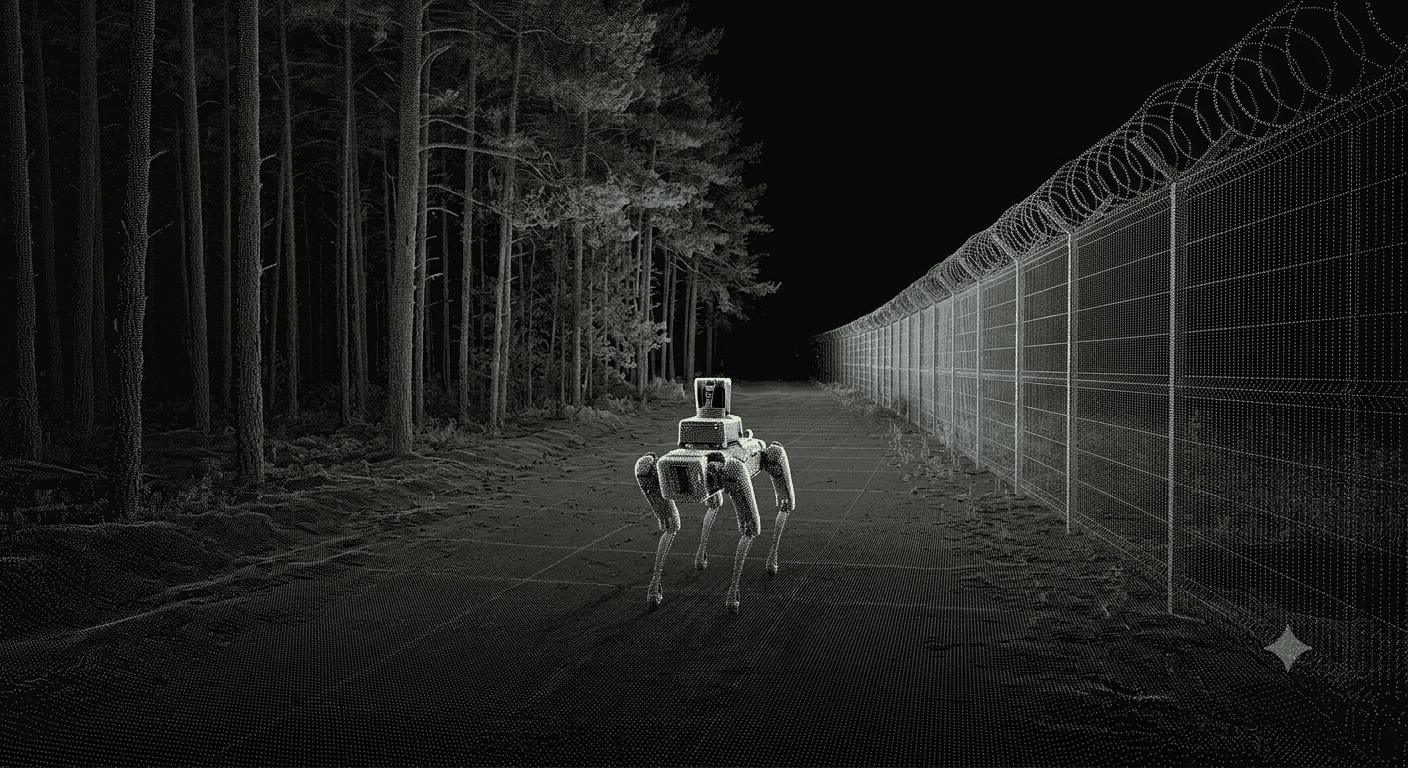
Civil track
Forest owners, managers, and funds commission surveys and subscribe to the portal — per-tree inventory, volume, and valuation, refreshed with every scan.
→ Funds the sensor fleet and ground coverage.
Defence track
Operational rehearsal, AI-assisted mission planning, under-canopy autonomous routing, counter-mobility planning, manoeuvre and trafficability analysis, change detection.
→ Subscribes to the data layer. No collection cost.
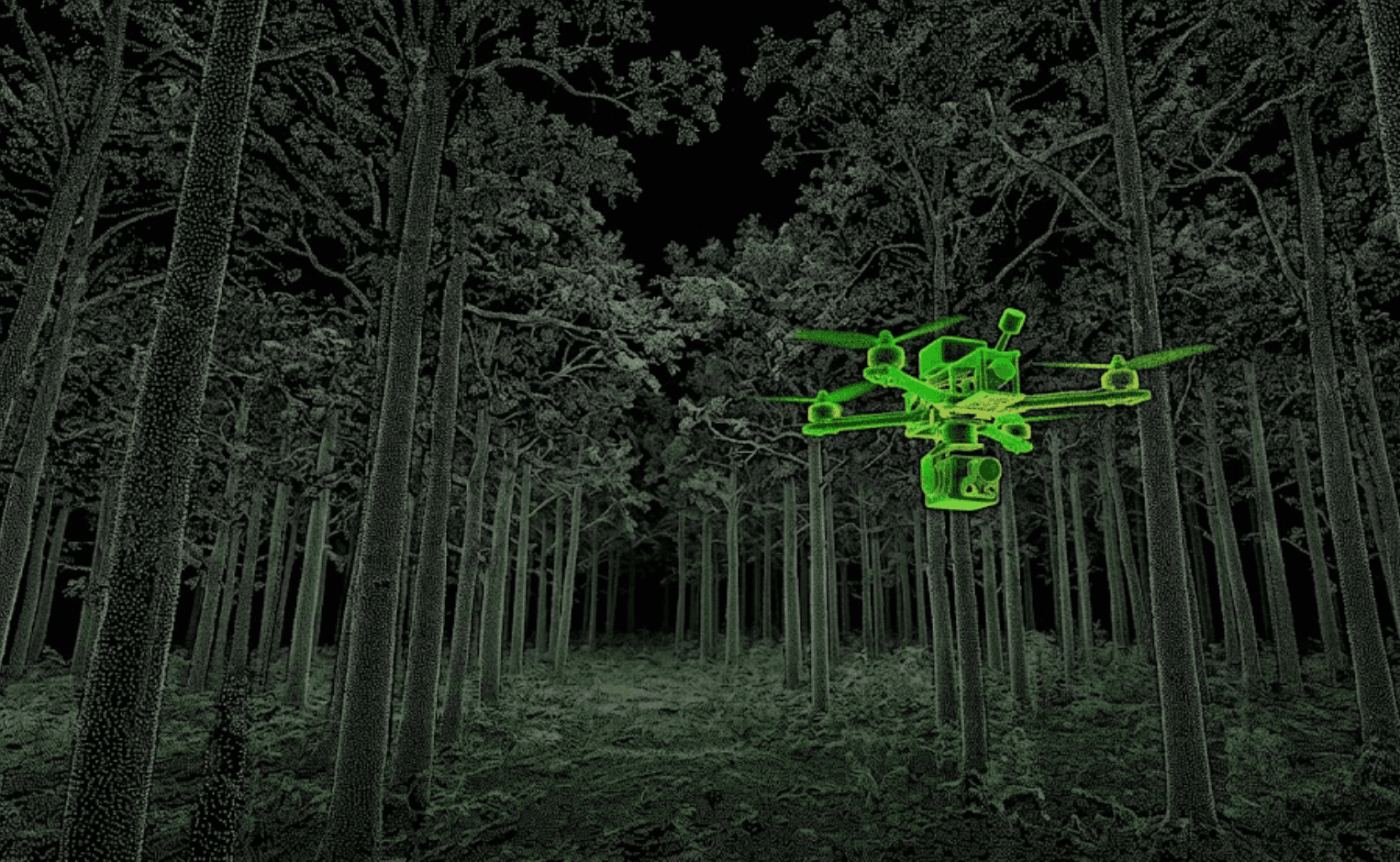
A desaturated LiDAR point-cloud scan of a sample forest plot, played as a continuous pass through the stand rather than a single frame.
What the rig captures
Every stem. Every hectare.
Forestry output
Per-stem census
The full inventory census.
STEM #04217 · Picea abies · H 24.6M · DBH 31CM · 57.1544°N 25.3021°E
STEM #04218 · Pinus sylvestris · H 21.2M · DBH 27CM · 57.1544°N 25.3024°E
STEM #04219 · Betula pendula · H 18.9M · DBH 22CM · 57.1543°N 25.3025°E
One walk.
Two datasets.
One walk. Two datasets.
Defence output
20cm terrain model
Under canopy, where satellite, aerial, and drone survey cannot see.
Canopy blocks line of sight from above; this rig doesn’t need it.
Defence applications of the terrain twin
Operational rehearsal in digital twins
AI-assisted mission planning
Autonomous under-canopy routing
Counter-mobility & obstacle planning
Manoeuvre & trafficability analysis
Change detection over time
Status
Where the programme stands.
Prototype
In development, in partnership with Apply (computer vision/AI) and Timbro (forestry technology). Target completion: early 2026.
Capital
~€500K invested to date.
Programme support
Forest Sector Competence Centre, Latvia.
EUDIS
Applying — Business Accelerator, theme "Information & Decision Superiority," domain: Land.
NATO DIANA
Applying.
Access
Request a technical briefing.
Built by forestry. Bought by defence.
For evaluators, MoD innovation units, and forestry-sector pilot partners.
hello@veer.is
veer.is
Riga, Latvia